14 FREE Shrewsbury Maps: Downloadable Town, Street View & Historic Maps Guide

LOOKING FOR DOWNLOADABLE SHREWSBURY MAPS AND GUIDES?
As someone who’s wandered every cobbled street and historic alleyway in Shrewsbury, I’m thrilled to share this collection of FREE downloadable, printable PDF maps to help you plan your perfect visit to this fascinating medieval town.
Uniquely placed within a horseshoe bend of the River Severn, Shrewsbury might not have the size of nearby cities, but what it lacks in scale, it more than makes up for in character, history and beauty. Many visitors to Shropshire miss the chance to properly explore this gem.
PLAN YOUR TRIP WITH OUR FAVOURITE RESOURCES
→ Best Accommodation site: Booking.com
→ Book an Activity or a Day Tour here: Viator.com
→ Compare Bus, Coach & Train Prices here: Omio.com
→ Reserve your Rental Car here: DiscoverCars.com
The town hosts an impressive array of Tudor buildings, ancient churches, peaceful gardens, quirky independent shops, wonderful cafés, fascinating museums, and literary connections to Charles Darwin who was born here.
Simply click on the link beneath each preview image to download your free maps!
Tourist Map: Shrewsbury Points of Interest
A tourist map of Shrewsbury displays the town centre, River Severn, and numbered points of interest alongside photos of attractions and boat trips.
The map includes an index of local establishments at the top and advertises “Sabrina” boat trips around the River Severn loop at the bottom left.
Download your free PDF here:

Illustration Map: Shrewsbury Famous Landmarks
Here’s an illustrated visual map of Shrewsbury town centre that I sketched. It features notable Tudor buildings, the winding River Severn, key attractions, shopping areas and the green spaces that make Shrewsbury such a picturesque place to visit.

→ Related: Fun Kid-Friendly Things to Do in Telford
Shrewsbury Road Maps, Bus Network Map
This comprehensive transport map by Arriva shows all major and minor bus routes in and around Shrewsbury, with colour-coded routes, bus numbers and connections to other nearby towns and cities.
Download the free PDF here:

Related: Free Maps of Shropshire (PDF Downloads)
Driving around Shrewsbury?
The best way to get around this town is by car, for flexibility, speed and comfort. If you don’t have your own, we recommend renting a car. Our go to site is DiscoverCars – we’ve used them at home and abroad for years, and we like their transparency, great reviews, and easy-to-use site.
Shrewsbury Rail Connections Map
Two clear rail network maps, one showing Shrewsbury’s connections to Chester and the other showing connections to Wolverhampton, with stops along the way.
Download the free Shrewsbury-Chester Line Map PDF here and the free Wolverhampton-Shrewsbury Line Map PDF here:


Cycle Map of Shrewsbury
A modern Shrewsbury Cycle Map displays dedicated cycle routes, paths and facilities throughout the city using a clean, minimal design with a grid reference system and compass rose.
Buildings appear as blue-shaded areas while green paths indicate cycle routes across labeled neighbourhoods including Frankwell, Porthill, Town Centre, and Abbey Foregate.
Download your free PDF cycle map here:

Map of Top 10 Restaurants in Shrewsbury
Below are interactive google maps, this one highlighting our recommended top 10 restaurants in Shrewsbury marked in yellow.
Shrewsbury’s Top 10 Independent Cafés
And here’s a map showing our top 10 independent cafés dotted throughout Shrewsbury’s winding streets and hidden corners.
Satellite view of Shrewsbury (Google Maps)
Here is an interactive satellite map of Shrewsbury on Google Maps. You can use the map to scroll around and zoom in to see 3D views of the city, along with landmarks and places of interest which you can click on and see more information.
You can also activate Google maps Shrewsbury street view mode and explore the town from the ground level.
Shrewsbury Town Centre Parking Map
Finding parking in Shrewsbury can be tricky! This detailed map shows all car parks, on-street parking zones, prices and walking distances to the main attractions.
Download your full-sized PDF map for free here:

Google Maps Shrewsbury Interactive Map
Navigate Shrewsbury like a local with this interactive Google Maps guide. Zoom in to find everything from restaurants, bars and cafes to car parks, public toilets, ATMs and tourist information points to make your visit hassle-free.
You can even click on the Shrewsbury maps street view icon for a unique, pedestrian’s view of the town’s streets.
Central Shrewsbury Street Map
This detailed street map of central Shrewsbury shows the town’s road network, the loop of the River Severn, and neighbourhoods including Frankwell, Coton Hill, Castlefields, Porthill, Kingsland, and Coleham. Major roads are highlighted in red, and building outlines appear in light orange.
Download the full-sized PDF map for free here:

Medieval Map of Shrewsbury
History buffs will love this vintage map of Shrewsbury dating back to the medieval period when the town was known as “Shrowesbury.” Compare how the town has changed (or in many cases, stayed remarkably the same!) over the centuries.
Download the free PDF here:

Vintage Ordnance Survey Map of Shrewsbury
A vintage Ordnance Survey map from 1947 showing a broader regional view around Shrewsbury. The map covers a large geographical area with road networks, settlements, and topographical features. Green patches indicate wooded areas, and the map uses conventional Ordnance Survey symbols and colouring.
Download this free PDF here:

General Information about Shrewsbury
Area: 9.6km² (town centre)
Weather: 3°C (winter), 21°C (summer)
Population: 72,000
Founded: 800AD, with a charter granted in 1189 by King Richard I
Nearest Airports: Birmingham (BHX), Manchester (MAN), Liverpool John Lennon (LPL)
Train Station: Shrewsbury Railway Station
Famous Residents: Charles Darwin (naturalist), Mary Webb (novelist), Wilfred Owen (poet), Joe Hart (footballer)
→ Related: more Maps posts:
West Midlands Maps [Free PDF Downloads]
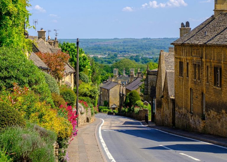
Downloadable Maps of the Cotswolds
Birmingham: Free Downloadable PDF Maps
Free Downloadable Maps of Coventry
Maps of The 6 Towns of Stoke-on-Trent [Free PDFs]
Maps of Warwick & Warwickshire (Free PDFs)
15 Free Maps of the Peak District (PDF Downloads)
Maps of Staffordshire (Free PDFs)
What are the famous streets in Shrewsbury?
Shrewsbury’s most notable streets include Wyle Cop (the UK’s longest row of uninterrupted independent shops), Fish Street, Butcher Row, Grope Lane (with its notoriously narrow passage), and the picturesque Bear Steps. The High Street and Pride Hill form the main shopping thoroughfare.
What does Wyle Cop mean in Shrewsbury?
“Wyle Cop” derives from Welsh “chwyl” meaning “a turn” and “cop” meaning “hill” or “summit.” This aptly named steep street curves up from English Bridge into town. It’s home to the historic timber-framed Lion Hotel building, dating from 1600, and Henry Tudor House from 1438.
What is the oldest building in Shrewsbury?
St Mary’s Church is generally considered Shrewsbury’s oldest building, dating back to Saxon times (circa 960 AD). Shrewsbury Abbey’s remaining portions date from 1083, while Shrewsbury Castle was established in 1070, though much of the current structure dates from the 13th century.